GPS trackers for vehicles and assets: legal virtual boundaries and geofencing strategies for homeowners & small businesses
gps trackers are now a common tool for securing vehicles, equipment, and movable inventory by creating virtual boundaries that trigger alerts and actions. This article explains how geofencing and asset tracking work together to define legal, operational, and privacy boundaries, how to compare implementations, real-world decision logic for homeowners and small businesses, and buyer considerations that reduce legal risk. Read the complete GPS Trackers guide
How gps trackers create virtual boundaries for assets
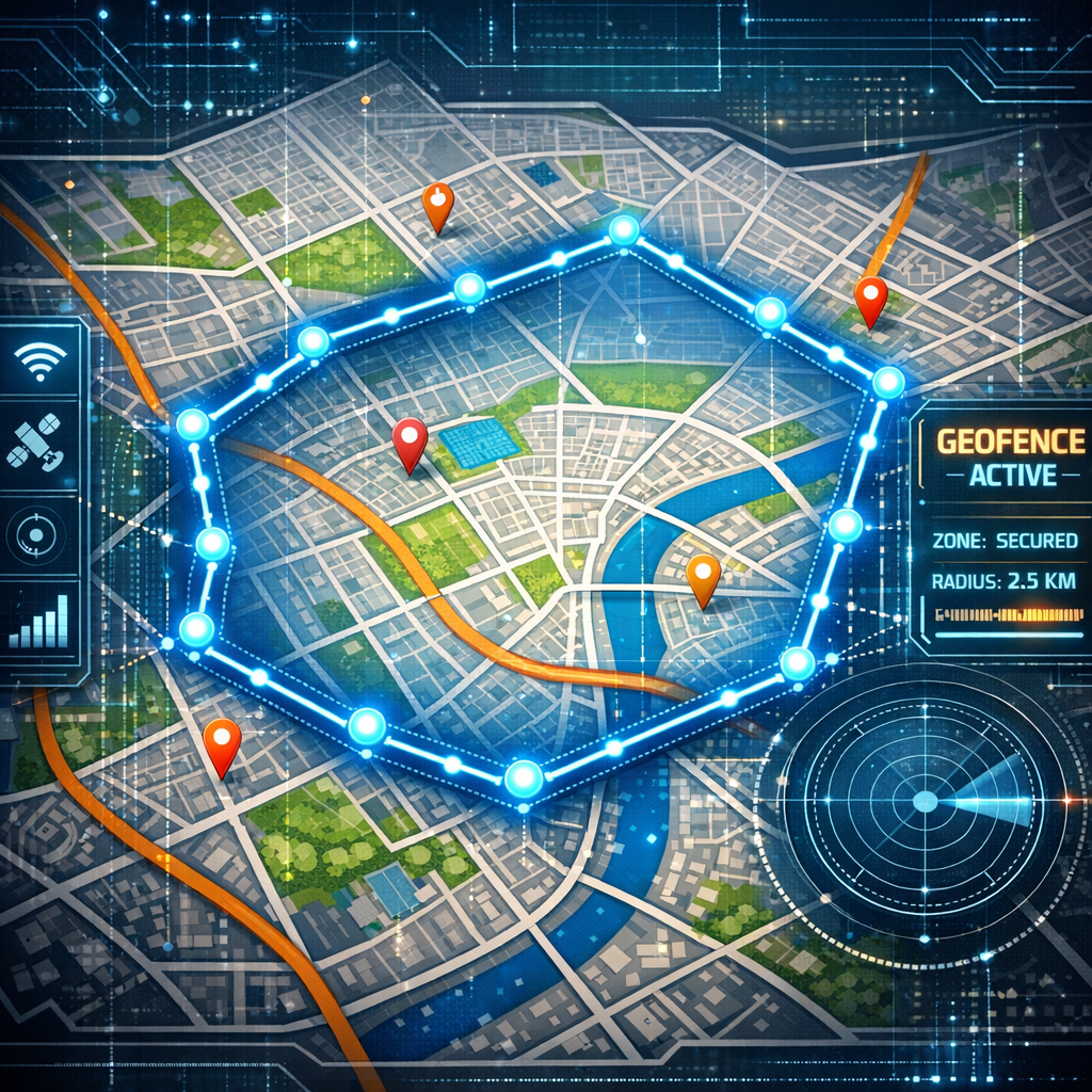
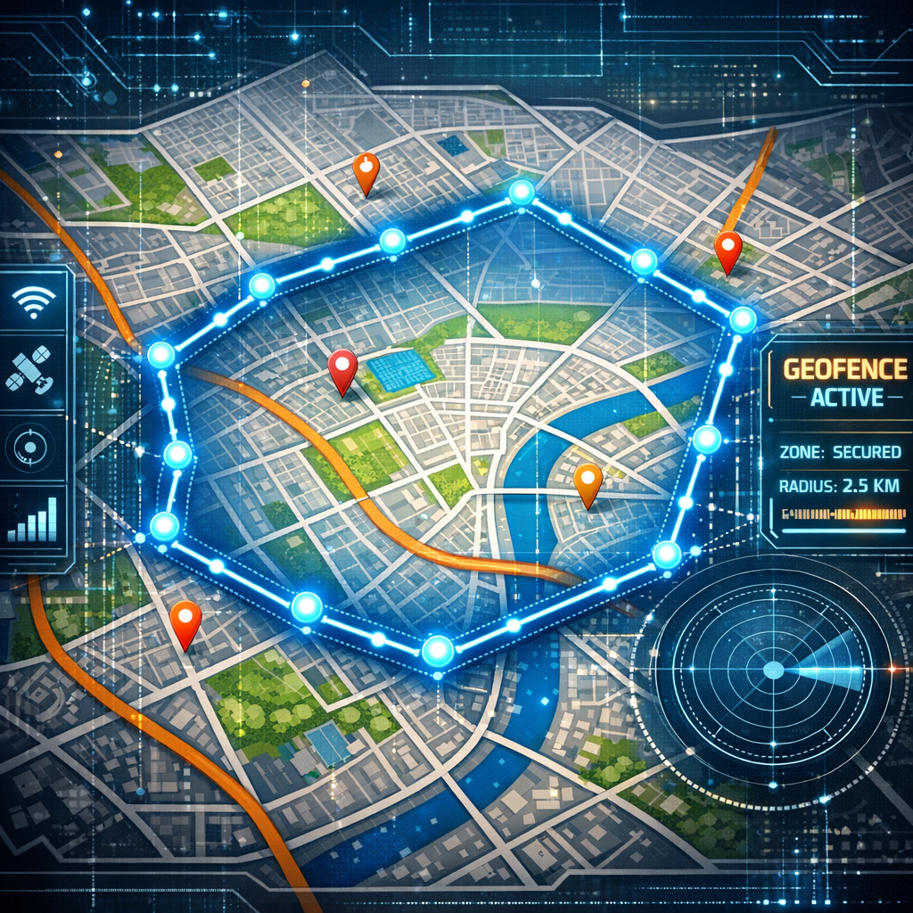
Setting a geofence is the process of defining a virtual perimeter around a physical area—parking lots, routes, job sites, or private property—and linking that perimeter to a gps trackers’ alert logic. When the tracker crosses or loiters near that perimeter, the system logs the event, notifies stakeholders, or triggers automated responses (alerts, immobilization commands in specialized systems, or audit entries). Asset tracking pairs the geofence with inventory context: which device is attached to which asset, expected duty cycles, and acceptable operating zones.
Comparing gps trackers: geofencing implementations and trade-offs
Not all gps trackers implement geofencing the same way. Comparison should consider detection method, latency, precision, connectivity, and data handling.
Detection method and precision
- High-precision GPS: Best for vehicles on defined routes; typical error margin 2–10 meters in open sky but degrades in urban canyons.
- Assisted GPS / hybrid: Uses cell towers and Wi‑Fi to supplement GNSS where signals are poor; reduces false geofence triggers in covered areas.
- BLE or UWB proximity: Useful for small, high-value assets in warehouses where room-level boundaries matter; not a substitute for wide-area geofencing.
Connectivity and latency
Real-time geofencing relies on cellular or satellite uplink. Trackers that upload locations every few seconds provide near-immediate alerts but cost more in data and battery. Devices that batch-upload hourly save battery and cost but create larger legal and operational gaps between the event and detection. Consider the acceptable latency for the asset type: stolen company tools require low latency; construction equipment moving between sites can tolerate minutes.
Data policies and on-device logic
Some trackers perform geofence evaluation on the device (edge processing) and only transmit events, reducing data volume and exposure of continuous historical traces. Others stream raw location data to a cloud service where geofence evaluation occurs. Edge processing limits data retention and can reduce legal risk; server-side processing provides richer audits but increases compliance obligations for data controllers.
Use cases and decision logic for homeowners and small businesses
Different use cases demand different geofencing and tracker choices. Break down decision logic by asset value, mobility, exposure to public spaces, and acceptable legal exposure.
Homeowners: vehicle theft prevention and teenage driver boundaries
For personal cars and recreational vehicles, choose devices with reliable cellular reporting and low-power sleep modes for long battery life. Geofences around home property and school zones provide alerts for unauthorized movement. When monitoring family members’ vehicles, document consent and use minimal data retention settings to limit legal risk.
Small businesses: fleet, construction, and rented equipment
Fleets typically need live tracking, route adherence, and geofenced job sites. For construction tools and rented machinery, use trackers that support tamper detection and movement thresholds to flag potential theft without creating noisy alerts for minor repositioning. Implement role-based access so employee supervisors can see necessary data while broader historical traces remain restricted.
Buyer guide: evaluation criteria and common selection mistakes
When selecting gps trackers for geofencing and asset tracking, evaluate hardware, software, legal footprint, and support. Consider lifecycle costs—not just device price but subscription, SIM roaming, and data storage charges. Browse GPS Trackers
- Hardware robustness: IP rating, shock resistance, and concealed installation options reduce tampering and unauthorized removal.
- Battery and power options: Hardwired telematics for vehicles vs. battery packs for portable assets. Factor maintenance schedules into operational costs.
- Reporting interval: Balance between battery life and timeliness of geofence alerts.
- Edge vs. cloud processing: Edge reduces continuous tracking exposure; cloud enables richer analytics and multiple geofence rules.
- Data retention and export: Ensure you can export audit logs for compliance or investigations; know default retention periods.
- Access controls and audit trails: Look for granular user roles and immutable logs to demonstrate legal controls in case of disputes.
Common mistakes include choosing devices solely on cost, failing to verify SIM roaming coverage for cross-border assets, and neglecting administrative controls that limit who can view or export location histories.
Practical examples and common mistakes
Example 1 — A landscaping company placed low-cost trackers on trailers. They chose hourly reporting to preserve battery life. A trailer was stolen and moved quickly across town; because of hourly uploads the company had a large window where recovery was unlikely. The correct decision logic would have been a hybrid device that reports on motion with a higher-frequency burst when it leaves a geofence.
Example 2 — A homeowner bought a tracker to monitor a teen driver and configured a geofence for curfew times. The device streamed continuous historical data to a third-party app with lax access control. An unrelated data breach exposed driving patterns. The safer option is a tracker that performs geofence evaluation on-device and only transmits event notifications, with strict retention and administrative controls.
Common mistakes to avoid: overbroad data retention policies, sharing credentials with too many staff, and expecting a single tracker model to fit every asset type without considering power and connectivity constraints.
Legal & ethical considerations (EU and US high-level)
Legal frameworks differ, but common principles apply: proportionality, transparency, data minimization, and security. In the EU, the GDPR imposes obligations if location data identifies a person; controllers must justify processing, enable data subject rights, and maintain lawful bases such as legitimate interest or consent. In the US, regulation is sectoral and state-driven—some states restrict employee monitoring or require notice before tracking.
For both jurisdictions, asset tracking that incidentally locates an individual requires clear policies. Minimize continuous personal tracking by using geofence-only alerts where possible, pseudonymize data in analytics, and implement strict retention limits. Maintain documented consent when tracking employees or family members where consent is appropriate, and use internal policies and access controls to limit liability. Ensure contract language with service providers covers data handling, breach notification timelines, and exportability of logs. Discreet solutions
Frequently Asked Questions
Q: Are gps trackers legal to use on my own vehicle? A: Generally yes for owned vehicles, but local laws and privacy expectations vary; disclose monitoring if vehicle is used by employees or family members.
Q: How precise is geofencing with gps trackers? A: Precision depends on GNSS reception and device type; expect 2–10 meters in good conditions, more in obstructed environments.
Q: Can geofences reduce liability after theft? A: Geofence logs can support recovery efforts and insurance claims, but they are not a legal guarantee; timely reporting and auditable logs improve usefulness.
Q: Should I choose edge or cloud geofence evaluation? A: Edge reduces data exposure and may lower compliance burdens; cloud supports complex rules and reporting. Choose based on your need for continuous historical records versus privacy minimization.
Q: How long should I keep location data? A: Retention should be as short as necessary—retain event logs for operational and legal needs (commonly 6–24 months) and anonymize or delete older continuous tracks.
Educational closing
Deploying gps trackers with geofencing and asset tracking capabilities can materially reduce theft, improve operations, and provide audit trails—but only when technical choices align with legal and ethical constraints. Define the assets, acceptable latency, and risk appetite first; choose devices and reporting modes that balance responsiveness and privacy; and implement policies that document consent, access, and retention. Properly configured geofences create enforceable operational boundaries without creating unnecessary legal exposure.